Code: 45484210
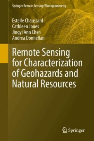
Remote Sensing for Characterization of Geohazards and Natural Resources
by Estelle Chaussard, Cathleen Jones, Jingyi Ann Chen, Andrea Donnellan
This book provides insights from a geoscientist's perspective into the benefits and the potential of remote sensing methods to address problems with a high social impact: identifying the drivers of geohazards and developing new me ... more
- Language:
 English
 - Binding: Hardback
- Number of pages: 350
Publisher: Springer, Berlin, 2024
- More about this

162.38 €
RRP: 166.86 €
You save 4.48 €

In stock at our supplier
Shipping in 10 - 12 days
You might also like
-

The Book of Bill
23.75 € -14 % -

Gravity Falls Journal 3
16.40 € -21 % -

Berserk Deluxe Volume 1
44.39 € -11 % -

Berserk Deluxe Volume 2
52.24 € -

Pumpkin Spice Cafe
11.87 € -16 % -

White Nights
3.51 € -23 % -

It ends with us
8.75 € -18 % -

48 Laws Of Power
18.01 € -9 % -

A Little Life
17.51 € -

Berserk Deluxe Volume 3
48.82 € -2 % -

Atomic Habits
15.90 € -14 % -

Surrounded by Idiots
10.46 € -29 % -

Gilmore Girls: The Official Advent Calendar
28.88 € -25 % -

Jujutsu Kaisen, Vol. 23
9.76 € -26 % -

The 48 Laws of Power
24.56 € -5 % -

The Official Stardew Valley Cookbook
22.34 € -22 % -

Berserk Deluxe Volume 4
45.19 € -10 % -

A Good Girl's Guide to Murder
8.14 € -25 % -

Iron Flame
16.30 € -17 % -

A Curse For True Love
10.36 € -12 % -

Berserk Deluxe Volume 5
50.43 €
Give this book as a present today
- Order book and choose Gift Order.
- We will send you book gift voucher at once. You can give it out to anyone.
- Book will be send to donee, nothing more to care about.
More about Remote Sensing for Characterization of Geohazards and Natural Resources
You get 408 loyalty points
 Book synopsis
This book provides insights from a geoscientist's perspective into the benefits and the potential of remote sensing methods to address problems with a high social impact: identifying the drivers of geohazards and developing new methods for monitoring natural resources. The fields covered include volcanic hazards, seismic hazards, landslide hazards, land subsidence hazards and monitoring of natural resources through the use and combination of various remote sensing techniques and modelling approaches. This book should spark collaborations and encourage readers to think beyond disciplines or techniques, as well as enable readers to build their own workflow depending on their study of interest. It provides a much-needed comprehensive review of recent advances that remote sensing methods have brought to geohazards and resources research. It is unique in the way that it unifies geohazards and natural resources research to highlight cross-field advancements and potential areas for multiple fields of science to collaborate.The book intends to provide both a basic understanding of the remote sensing methods used in geohazards and natural resources sciences, with appropriate referencing for readers wishing to further their technique-specific learning, and a detailed application of these methods to a variety of sustainability problems. It aims at providing the reader with workflows for combining multiple techniques with demonstrated results in a variety of disciplines. This approach makes the book useful for both students learning about geohazards and resources, learning about remote sensing methods, and for researchers intending to expand their skill set using methods that have been applied to other fields. This book provides an introduction to each remote sensing method with references for in-depth technical learning which will benefit students in Remote Sensing courses.
 Book details
Book category Books in English Earth sciences, geography, environment, planning Geography Geographical information systems (GIS) & remote sensing
162.38 €
- Full title: Remote Sensing for Characterization of Geohazards and Natural Resources
- Author: Estelle Chaussard, Cathleen Jones, Jingyi Ann Chen, Andrea Donnellan
- Language:
 English
 - Binding: Hardback
- Number of pages: 350
- EAN: 9783031593055
- ID: 45484210
- Publisher: Springer, Berlin
- Dimensions: 235 × 155 mm
- Published: 2024
Collection points Bratislava a 2642 dalších
Copyright ©2008-24 najlacnejsie-knihy.sk All rights reservedPrivacyCookies


 15549 collection points
 Delivery 2.99 €
 02/210 210 99 (8-15.30h)